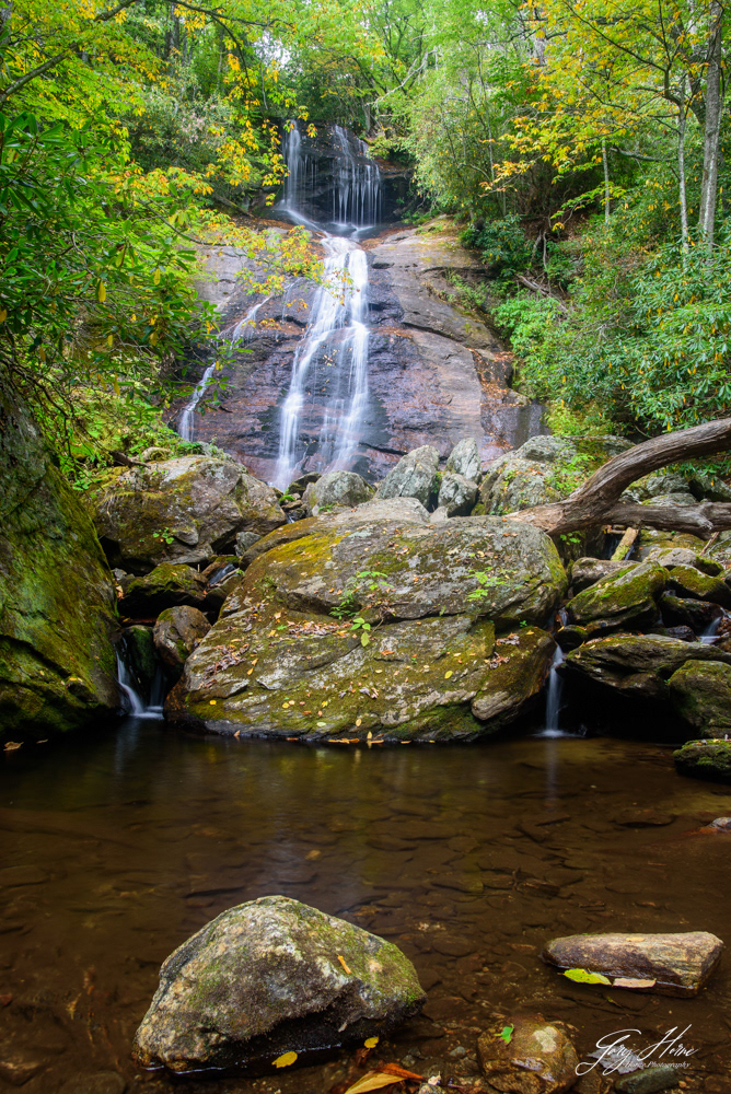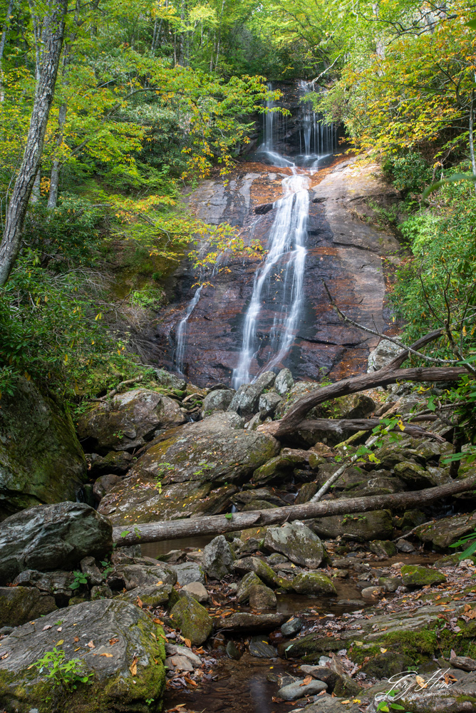
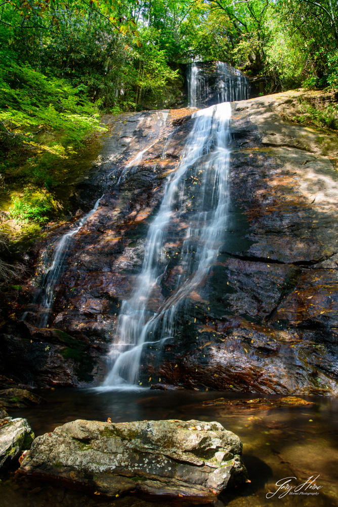
Dill Falls is in the Nantahala National Forest on FS4663B. Most GPS systems recognize "Dill Falls" or click on the map below to open Google Maps.
In the summer you can park at the end of FS4663B and hike the short distance to the falls. In the Winter FS4663B is closed and you will have to park From NC218 follow the gravel forest service road and park on FS4663 where FS4663B turns off. Be sure to check the Forest Service website for road closures. From the end of FS4663B the hike is about 0.9 mile to the falls and mostly easy. All Trails has a good map of the trail to the falls (note that it shows if with FS4663B closed).
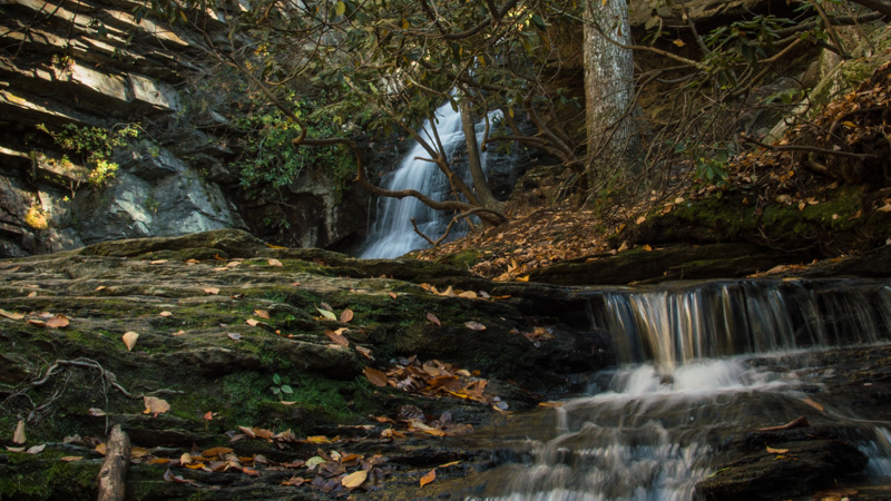
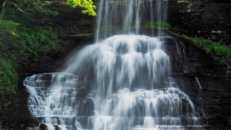
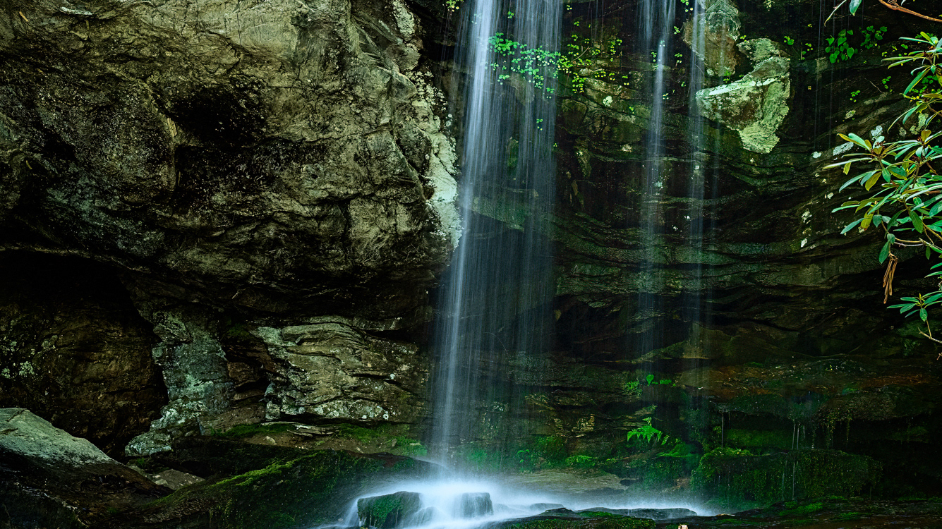
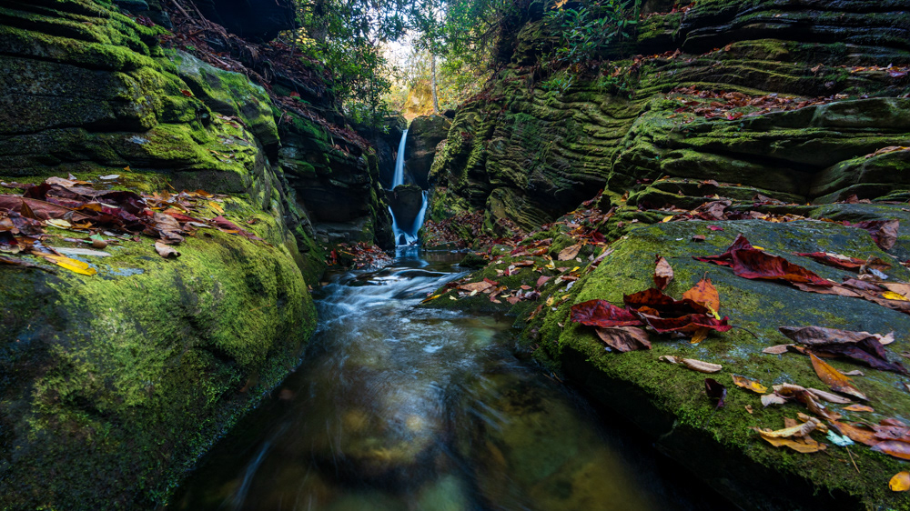
Dill Falls is on Tanasee Creek and drops 60 feet. It is best seen after a good rain, otherwise the flow is not as good (as in these pictures).
For more information visit the Romantic Asheville website and the Kevin Adams Waterfalls website.